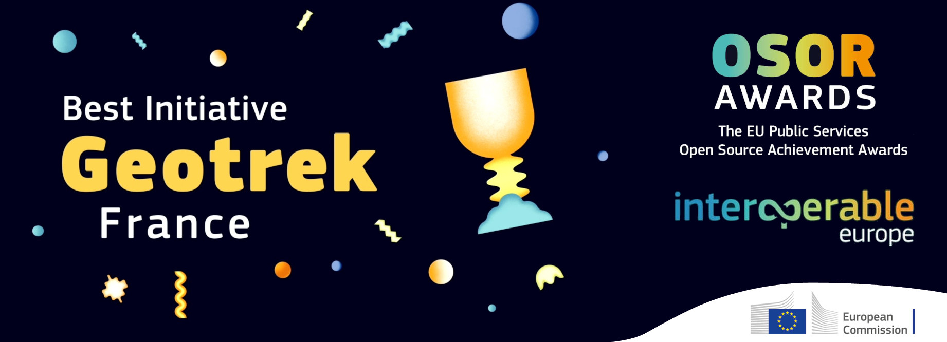
Geotrek wins an OSOR Awards 2023
November 2023
The OSOR awards brought together European free software actors on Tuesday, November 21, in Brussels. The opportunity to reward public initiatives in the area of free software. Geotrek, the Open Source application for managing and promoting hiking developed by a consortium of French public partners, received the jury award in Brussels.

Geotrek, voted best initiative by the OSOR Awards 2023 jury
Geotrek, was named winner by the OSOR Awards jury in the category of best open source initiatives in the European public sector, among 92 participants and 6 finalists in a competition organized by the Open Source observatory of the European Commission. The other finalists are French (demarches-simplifiees.fr, supported by the French government), Spanish, Danish and Italians.
Presentation and details of the awards here : https://joinup.ec.europa.eu/collection/open-source-observatory-osor/osor-awards-2023.
A word from the jury
"Geotrek has shown an unwavering commitment to subtainability and has the potential for scaling out. A project that empowers Europe's national park and regions to showcase the offering and engage citizens directly. It is a model for open source collaboration. The jury underscores Geotrek potential to drive positive change in green initiative through open source."

A French and above all collective success
Geotrek was created in 2013 through an Alpine project involving the Écrins and Mercantour national parks. It makes it possible to manage and promote the hiking offer as well as outdoor activities. From the start, this tool was created with open source code libraries and it was published under a free license so that it could be shared with other French actors In 2023, this success concerns more than 150 French structures including departments, national parks, regional natural parks, communities of municipalities as well as tourist offices.
A dynamic community of actors
Since 2016, the partners have been united within the community of Geotrek users led by the Écrins National Park. The desire to share know-how, deployment experiences, the identification of common needs and the financing of developments to evolve the tool drives all stakeholders. It is thanks to this collective dynamic that the tool is perpetually evolving, so each actor who wishes to develop new functionalities finances it alone or with others and can put it back into the software which is updated and enriched for everyone.
A tool serving the promotion of territories and nature
Beyond the trail management functionalities, Geotrek makes it possible to structure the region's hiking and outdoor activities offerings. Its users make it an asset for promoting the territories. The tool also allows to pass on information to discover in depth the heritage of natural and rural areas, as on the portal Rando Ecrins
Collective intelligence also made it possible to enrich the tool with possibilities for reporting problems observed by hikers. Geotrek also integrates environmental protection issues. It helps raise visitors' awareness of the regulations for protected areas, good practices in the natural environment as well as sensitive areas to avoid due to the presence of protected species.
A project resolutely turned towards the future
After the establishment of a first public order group (2018-2022) the partners decided to set up another partnership agreement which will make it possible to finance new developments of the tool as well as the technical coordination of the community. This new consortium, currently being formed, concerns 22 public structures including 8 departments, 7 national parks, regional natural parks, several communities and tourist offices for the period 2024 to 2027. Ultimately, the partners aim to set up a structure dedicated to the development and financing of the project.
Another distinction at the public award
The Geotrek project was also among the 22 nominees for the public award, for which voting closed on October 30 on the European Commission website. This prize was won by BlueHats, the French community of public agents contributing to free software, which includes the Écrins National Park and the Geotrek project. Geotrek won second place in this public award.

Congratulations to the developers, the community as well as the public actors who trusted it and who have financially supported the project since 2013.