Manage and develop hiking and touristic activities of your territory

Geotrek-admin
Application for administrators
Capturing and updating of cartographic and descriptive data
Read more
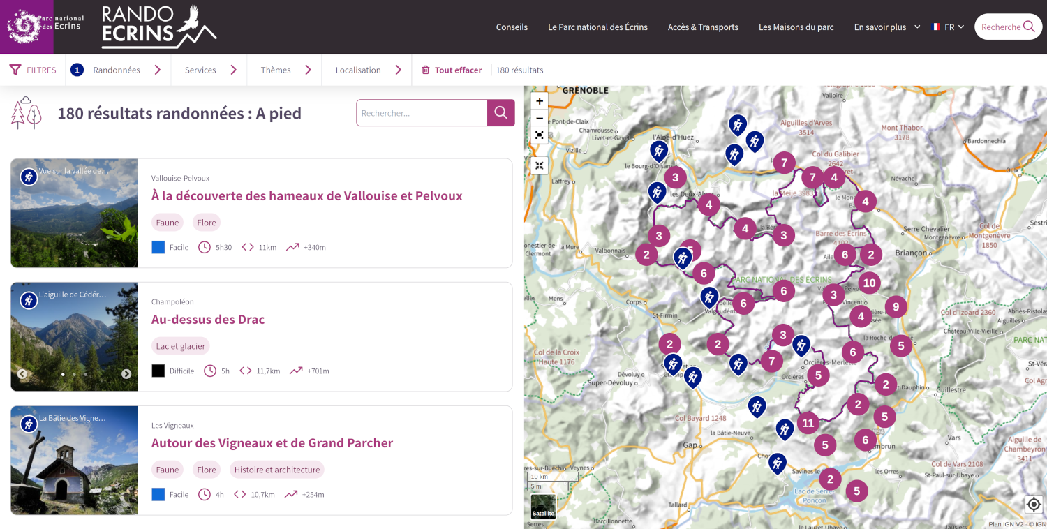
Geotrek-rando
All audiences website
Enhancement of heritage, hiking, events and activities
Read more
Geotrek-widget
Interactive web component
Share content from Geotrek-admin tool to third-party sites
Read more
Geotrek-mobile
Mobile Application
Smartphone and tablet accessibility, online and offline mode, Android and iOS
Read more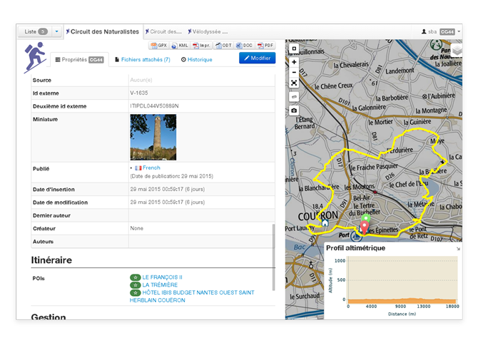
 Connections with T.I.S
 Data import / export
 Dynamic segmentation
 Altimeter calculations
 Itinerancy
 3D representation of paths
 Browsing ultra HD images
 A platform in line with your brand image

 Easily integrated
 Responsive design
 Customizable
 Versatile

 Online / offline mode
 Interactive trail
 GPS alert
 Android and iOS